


WMO Library
The World Meteorological Organization (WMO) online Library consists of conference, annual, statistical and other expert reports as well as publications

UKMO: Digital Library
The UK Met digital library contains digital archived includes digital copies of some of UK Met's unique and fascinating archive treasures.

NOAA Education Resources
The National Oceanic and Atmospheric Administration (NOAA)’s Sea to Sky: Education resource database contains searchable database

NGS Video Library
NGS, in partnership with The COMET Program, has developed short videos about topics related to geodesy and mapping.
The COMET Program/MetEd
Official YouTube channel for MetEd containing videos about education for meteorology and the geosciences

TROP-ICSU Climate Science
YouTube playlist for TROP-ICSU Climate Science Education series including Climate and Biosphere
Flood Detection using Sentinel-1 Satellite
Google Earth Engine Tutorial on Flood Detection using Sentinel-1 Satellite
Drought Mapping using Vegetation Condition Index
Google Earth Engine Tutorial on Drought Mapping using Vegetation Condition Index
Sentinel-2 Soil Moisture Estimation using OPTRAM Model
Google Earth Engine Tutorial on Sentinel-2 Soil Moisture Estimation using OPTRAM Model
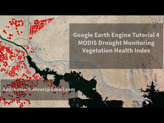
Drought Monitoring using MODIS VCI, TCI and VHI indices
Google Earth Engine Tutorial on Drought Monitoring using MODIS VCI, TCI and VHI indices
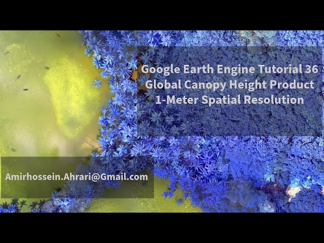
Google Global Canopy Height Product (1-meter)
Google Earth Engine Tutorial on Global Canopy Height Product (1-meter)
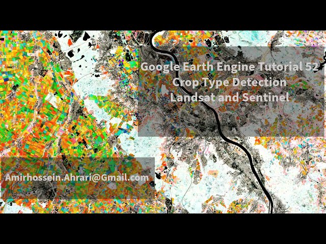
Crop Type Detection, using NDVI
Google Earth Engine Tutorial on Crop Type Detection, using NDVI
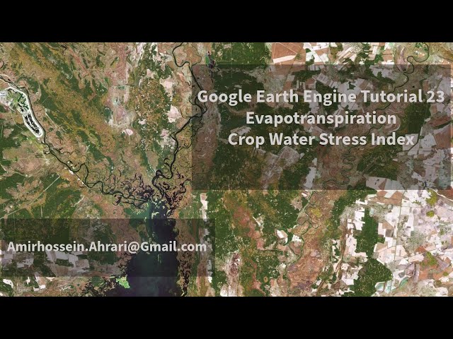
Evapotranspiration and Crop Water Stress Index Mapping
Google Earth Engine Tutorial on Evapotranspiration and Crop Water Stress Index Mapping
Precipitation Downscaling, using Machine Learning Techniques
Google Earth Engine Tutorial on Precipitation Downscaling, using Machine Learning Techniques
Biomass Prediction, using Machine Learning
Google Earth Engine Tutorial on Biomass Prediction, using Machine Learning
Oil Spill Detection using Sentinel-1 Image
Google Earth Engine Tutorial on Oil Spill Detection using Sentinel-1 Image
Lake Area Estimation
Google Earth Engine Tutorial on Lake Area Estimation
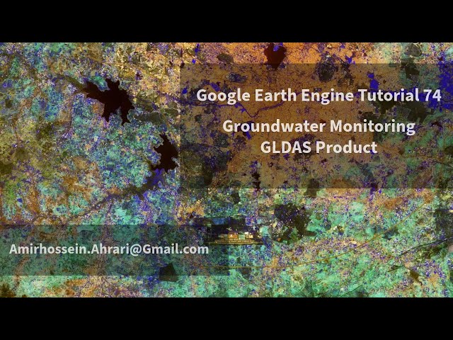
Groundwater Monitoring
Google Earth Engine Tutorial on Groundwater Monitoring
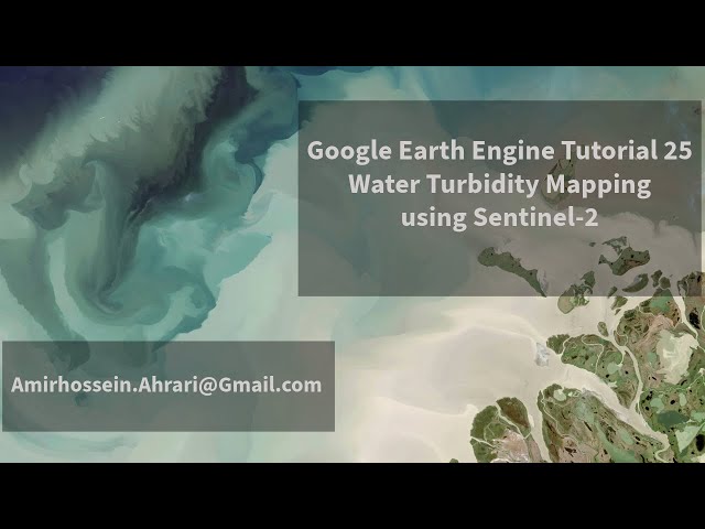
Water Turbidity Mapping using Sentinel-2 Images
Google Earth Engine Tutorial on Water Turbidity Mapping using Sentinel-2 Images
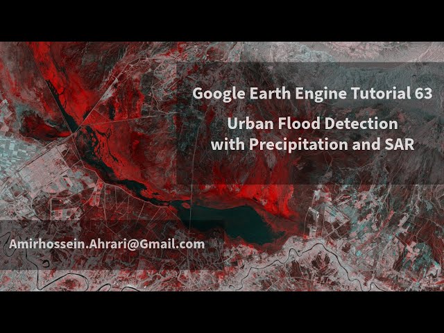
Urban Flood Detection, using SAR and Precipitation Data
Google Earth Engine Tutorial on Urban Flood Detection, using SAR and Precipitation Data
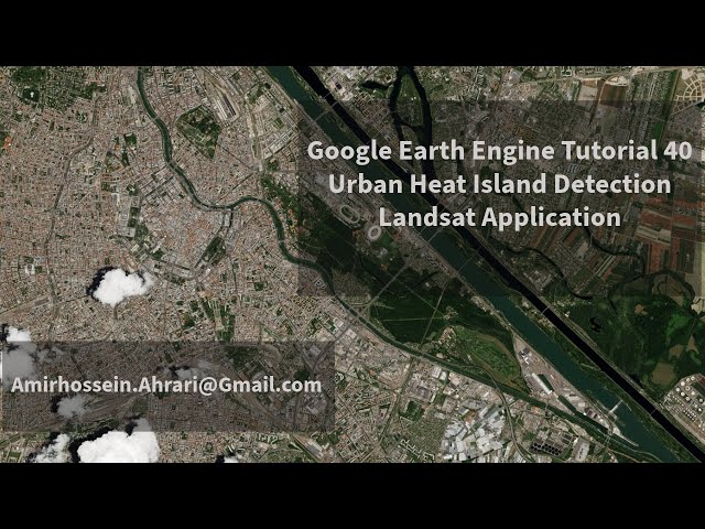
Urban Heat Island Detection, using Landsat Images
Google Earth Engine Tutorial on Urban Heat Island Detection, using Landsat Images
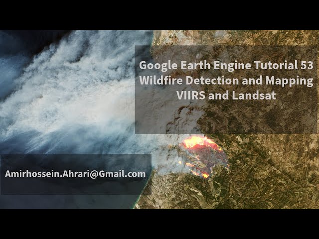
Wildfire Detection and Mapping, using VIIRS and Landsat
Google Earth Engine Tutorial on Wildfire Detection and Mapping, using VIIRS and Landsat
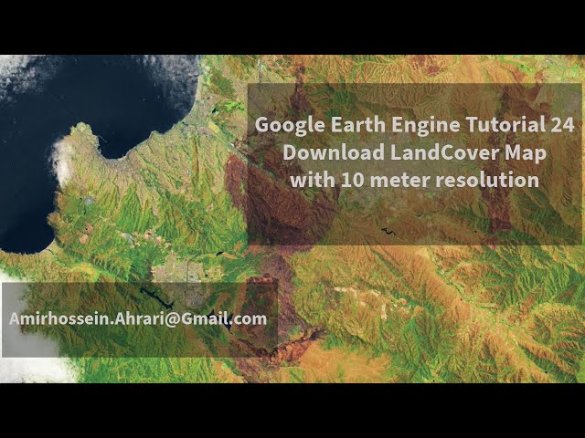
Download Landcover Map with 10-meter Spatial Resolution
Google Earth Engine Tutorial on Download Landcover Map with 10-meter Spatial Resolution
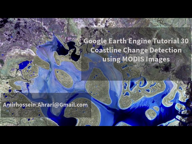
Coastline Change Detection
Google Earth Engine Tutorial on Coastline Change Detection
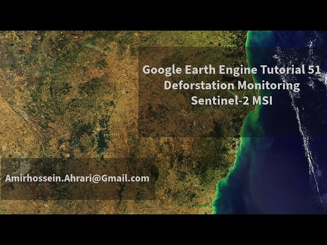
Deforestation Monitoring, using Sentinel-2 Images
Google Earth Engine Tutorial on Deforestation Monitoring, using Sentinel-2 Images
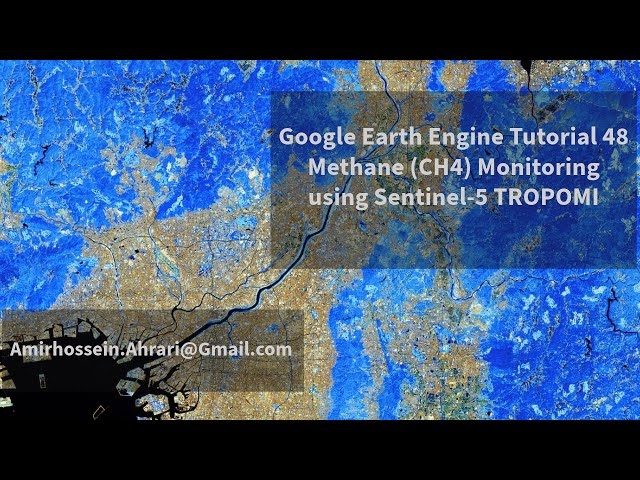
Methane (CH4) Mapping and Monitoring using Sentinel-5 Images
Google Earth Engine Tutorial on Methane (CH4) Mapping and Monitoring using Sentinel-5 Images
Climate Change Adaptation Digital Twin
Jenni Kontkanen on the Climate Change Adaptation Digital Twin

Career path for Meteorologists
COMET UCAR - EAGER for Opportunities: Private-sector Career Pathways for Meteorologists

Digital twins of Earth
Digital twins of the Earth are digital representations of the Earth system, spanning scales and domains.

Visual Weather Insights
As extreme weather events become increasingly common and severe.

Machine learning and physics in weather forecasting
Check out the ECMWF article on using Machine Learning in weather forecasting.

Closing the gaps in the observing network
Check out the World Meteorological Org (WMO) article on closing gaps in Observing Network.

European Weather Cloud is operational
Read the ECMWF article on European Weather Cloud being operational.

Real-world applications of Climate Change Adaptation Digital Twin
Check out the article on Real world application of Climate Change Adaptation Digital Twin.

AI models are transforming weather forecasting
How AI models are transforming weather forecasting: a showcase of data-driven systems.
")
MIT OpenCourseWare
Explore free MIT courses on Earth, Atmospheric, and Planetary Sciences along with materials from over 2,500 MIT courses, freely sharing knowledge with learners and educators around the world.
")
WMO Training Resources
World Meteorological Organization (WMO) Education and Training Programme (ETRP) offers a plethora of freely accessible resources on Meteorology offered through the WMO Trainer Resources Portal.

Risk and Resilience Portal
In this module, we will explore the definition and key functions of IBF.

Math for Weather and Climate
Read the COMET MedEd article on Math for Weather and Climate.
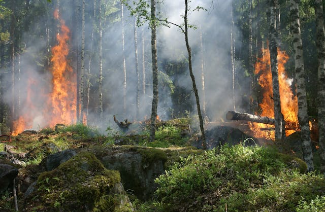
Tactical Fire Weather Forecasting II
Explore the course on wildfires and prescribed ways to prevent them.